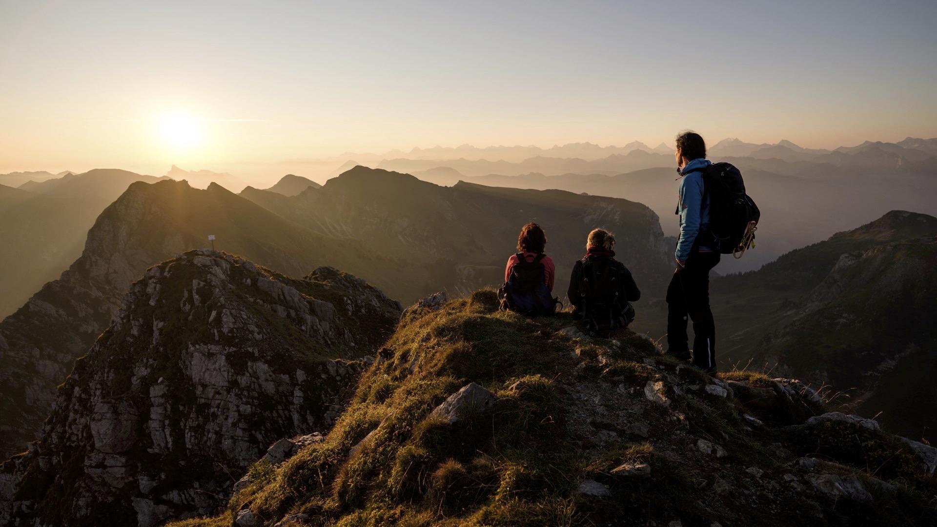
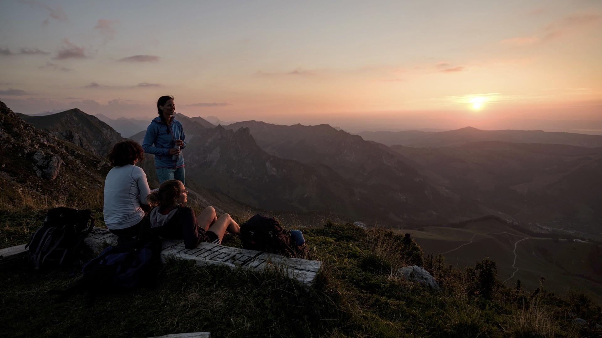
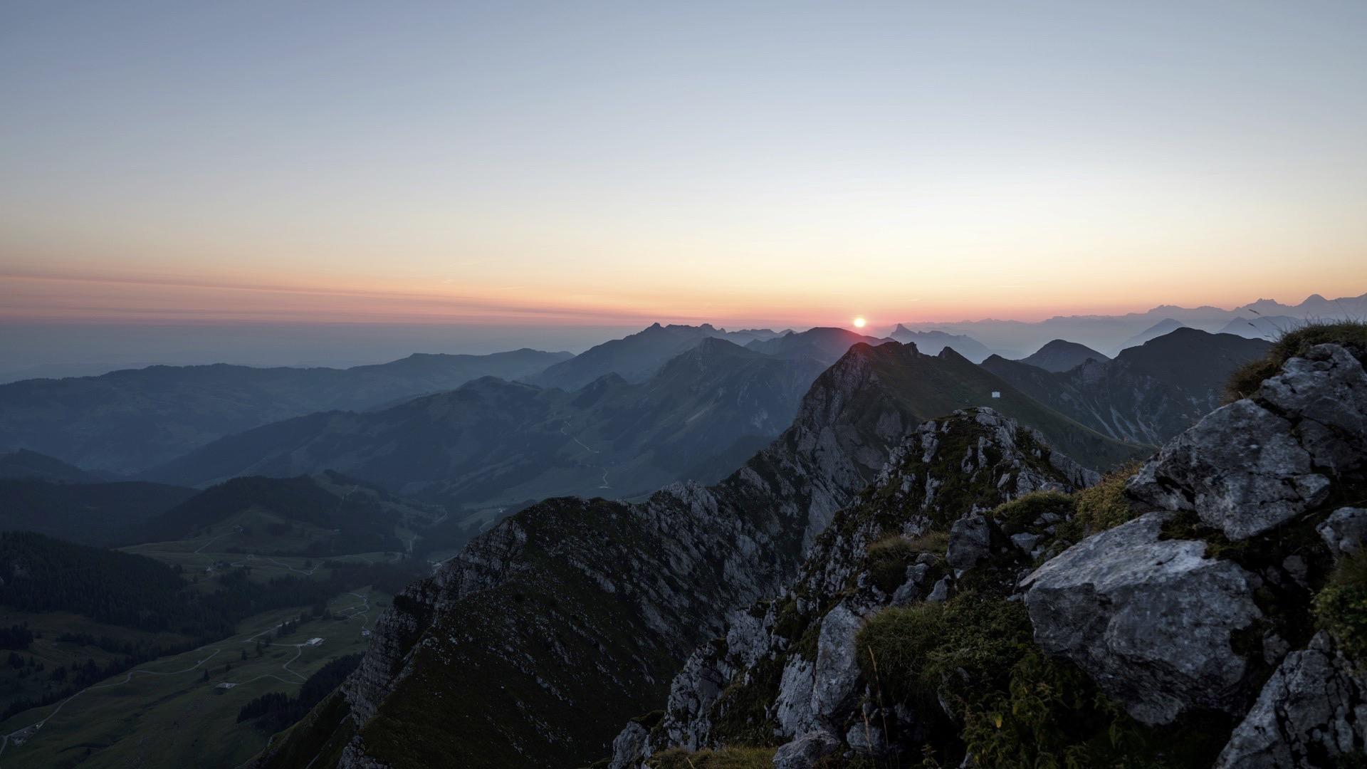
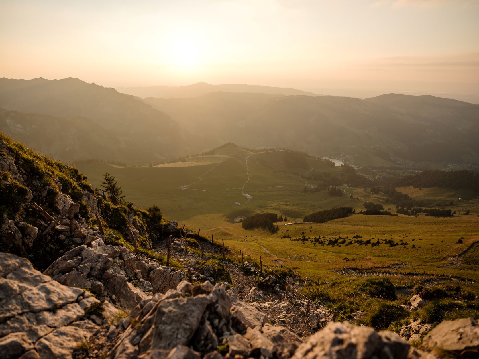
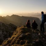
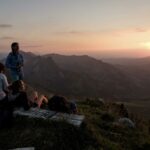
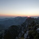
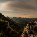
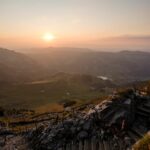
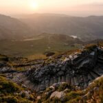
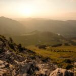
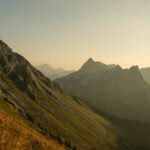
A stunning view over the Bernese Alps and Fribourg Pre-Alps awaits you at the summit of the Kaiseregg. This demanding hike is one of the classics for mountain lovers in the canton of Fribourg.
Standing on the borders of the canton, the Kaiseregg (literally the “emperor’s corner”) owes its name to a confusion: there has never been an emperor in these parts, however the name “Käseregg” (“cheesemaker’s corner”) is found in old texts. The Fribourg alpine pasture that gave the summit its name is in an area that is normally only accessible from the canton of Bern, via Boltigen and the Walopsee lakes.
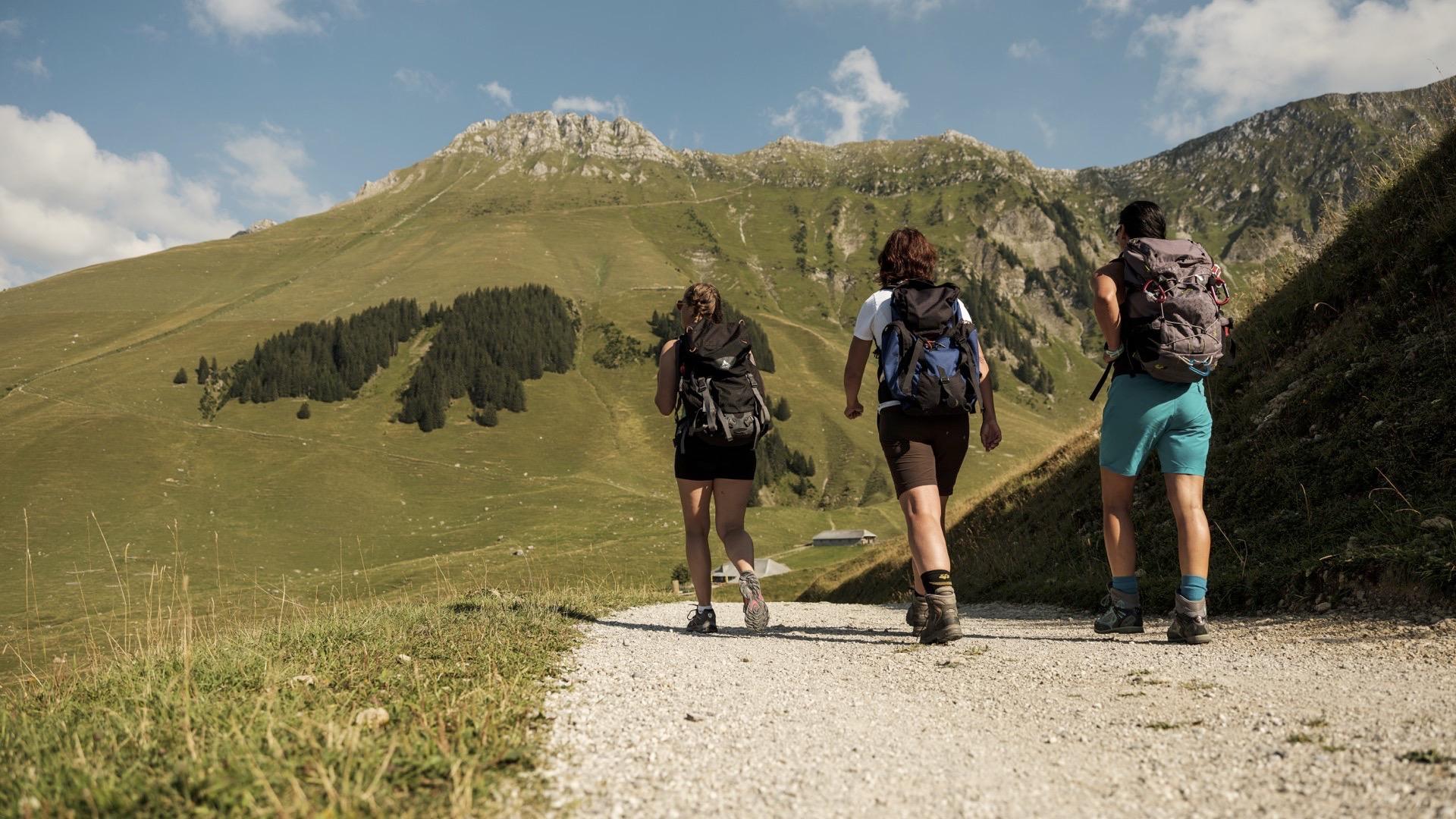
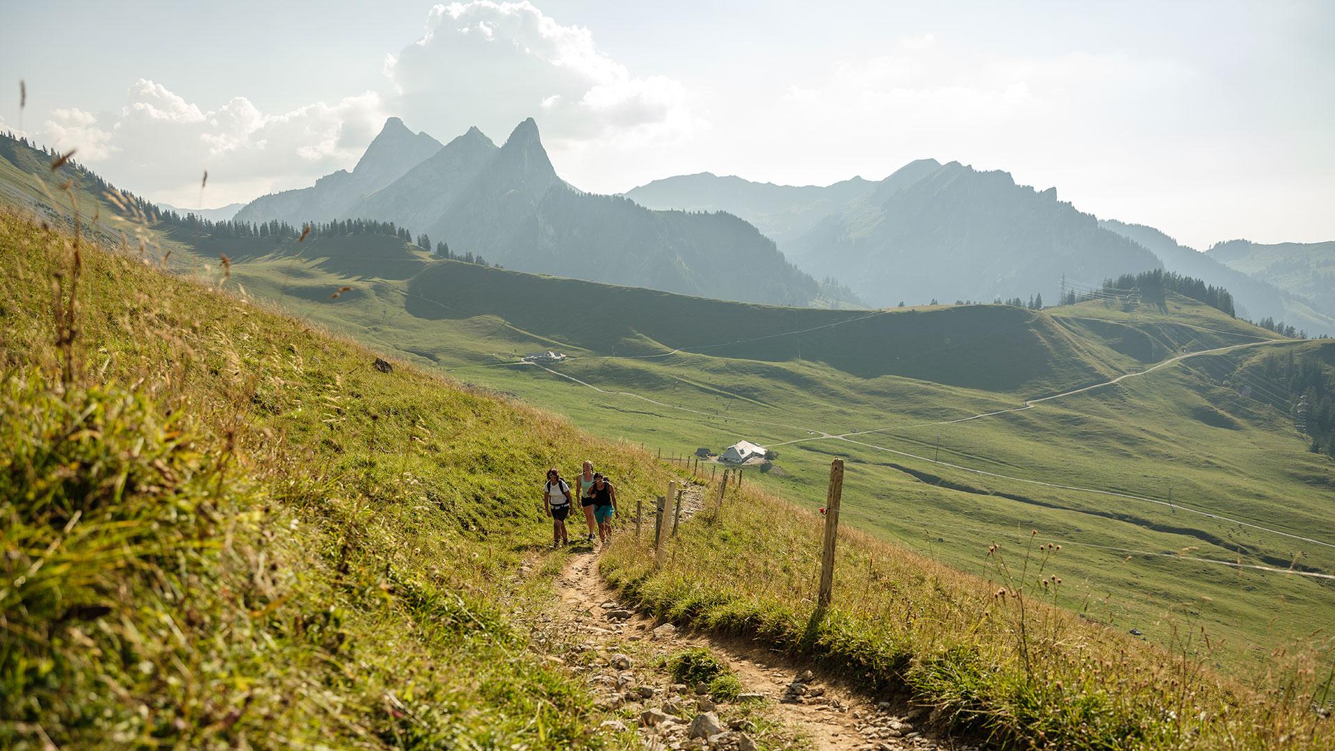
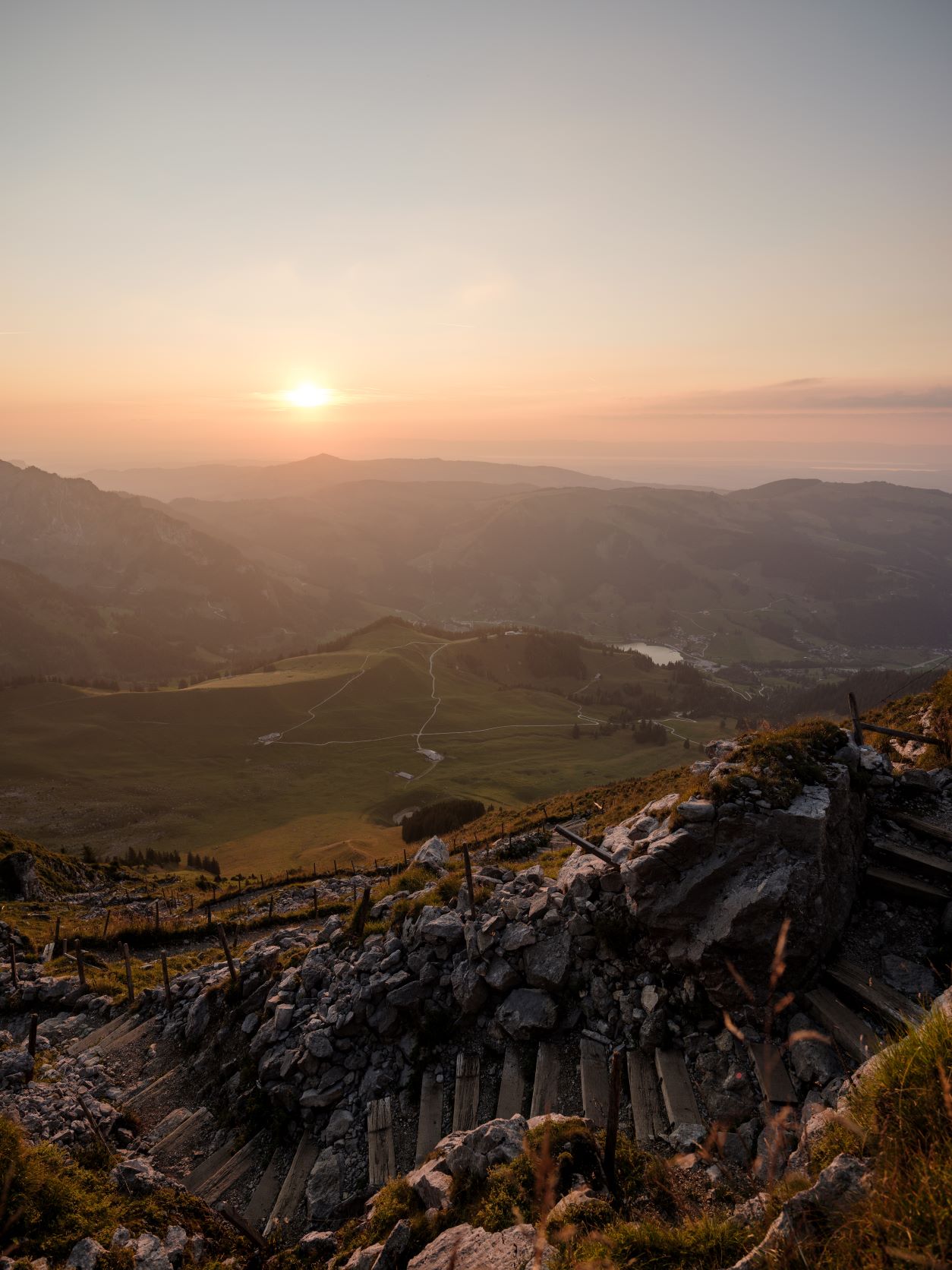
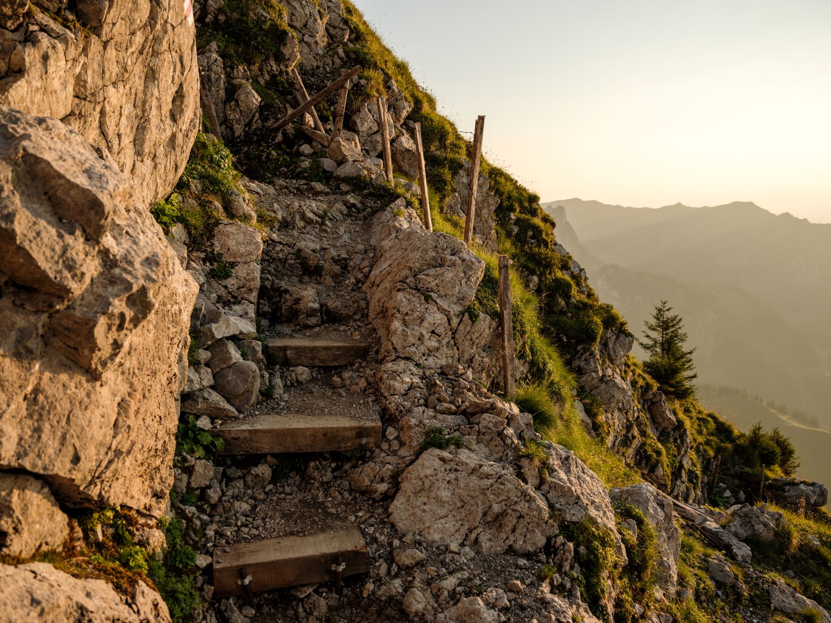
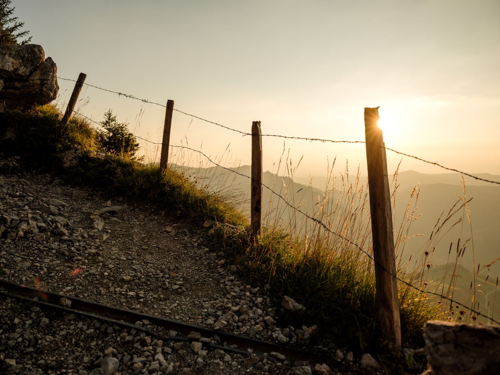
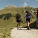
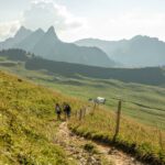
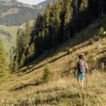
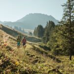
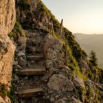
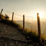
The walk begins in Schwarzsee, next to the Gypsera car park. Take the chair lift and then follow the path that heads down to the Riggisalp plateau. At the first crossing, by the Riggisalp Alpine restaurant, continue straight on and climb up to the Salzmatt Alpine restaurant, then follow the ridge of the Kaiseregg. From there, cross the slope beneath the summit until you reach the Kaisereggpass. A final effort will get you to the cross, via a well-marked footpath. Retrace your steps to the Salzmatt, then head down towards the Hürlisboden Alpine restaurant. The rest of the descent follows a little hiking trail on the right bank of the Riggisalpbach.
Tip: the more courageous can make the ascent either via Mittler Stalden (another 1h15), or via Untere Euschels (another 2 hours).
Accessible by public transport: yes
Accessible by car: yes


Properties of the itinerarie
Type of activity: Sports
Difficulty: Moderately difficult
Duration: 04:40
Distance: 11 km
Ascent/Descent: +750m / -1187m
Altitude min./max.: 1048m / 2176m